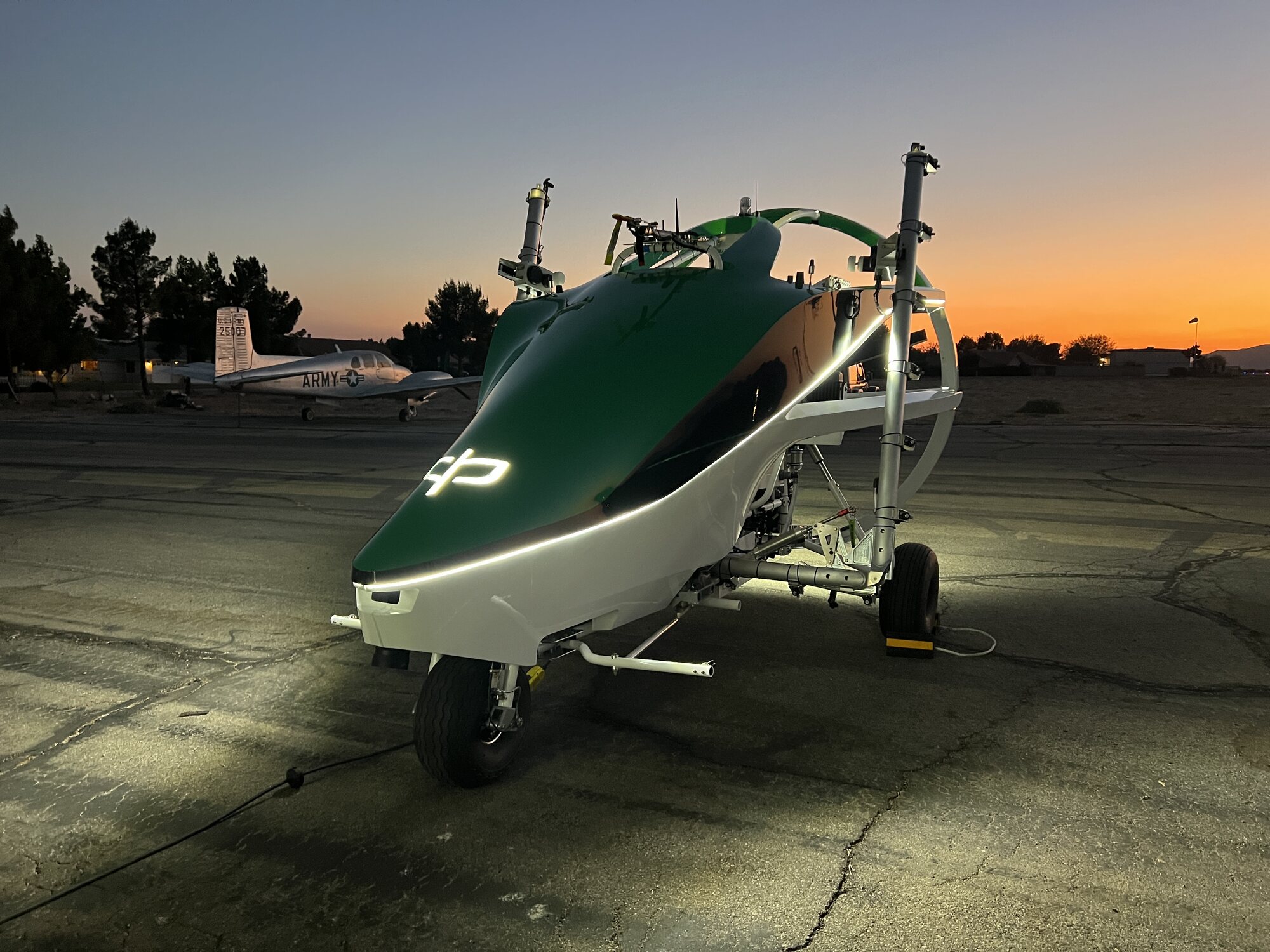
One platform. Two missions.
Capability engineered for agriculture translates directly to defence. The same airframe and intelligence stack serves the field and the front.
DOC.REF // PA-APP-2602
One platform. Two missions.
The same airframe and intelligence stack serves the field and the front. Capability built for agriculture translates directly to defence.
Defence & ISR
- Autonomous resupply of fuel, food, and equipment
- Persistent ISR and live target reporting
- Distributed sky-train delivery with low asset risk
- Intelligence payloads over SATCOM and Starlink
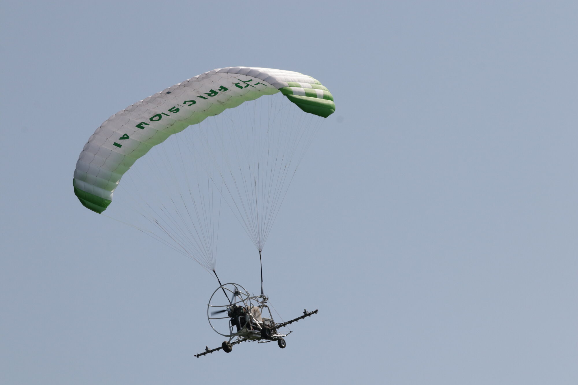
Precision Agriculture
- High-capacity precision crop spraying
- Real-time weed and invasive species detection
- Large-field coverage with extreme endurance
- Multispectral field mapping and yield analysis
Built for the mission.
Autonomous Resupply
Move fuel, food, munitions, and equipment into remote or contested areas without risking crews.
Persistent ISR
Loiter for hours, image wide areas, and report precise target location and identity in real time.
Distributed Delivery
Launch a sky-train of aircraft on independent routes so no single interception is costly.
Intelligence Payloads
Carry SOLV or third-party sensors and stream findings over SATCOM or Starlink.
Precision at scale.
Precision Spraying
A spray bar with onboard vision targets weeds and invasive species while covering large fields.
High Payload Coverage
Heavy tank capacity and long endurance mean fewer passes and faster turnaround on big operations.
Field Mapping
Multispectral imaging and real-time orthomosaics reveal crop health and guide application.
Yield Analysis
Custom AI models translate imagery into actionable agronomy for the season ahead.
Mapping and intelligence.
Real-Time Orthomosaics
Fully geo-corrected maps generated in flight using four-corner image projection.
Vector Compression
Send lightweight scene representations, then full-resolution imagery only when it matters.
Sensor Fusion
AI-based fusion of IMU, LiDAR, and imagery for positioning accuracy beyond current systems.
Need something bespoke?
We develop custom platforms, sensors, and AI models for defence and agricultural requirements.